
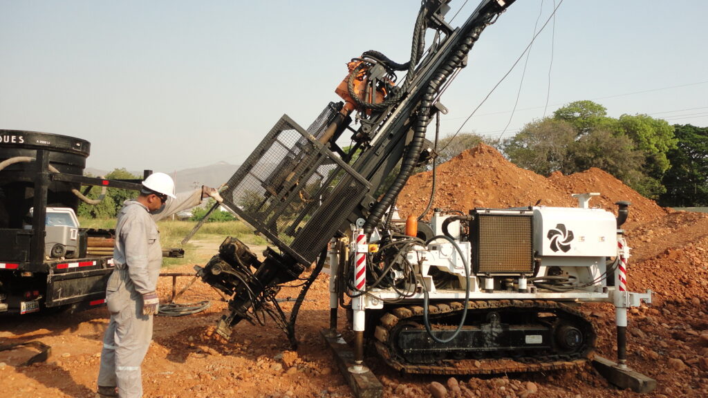
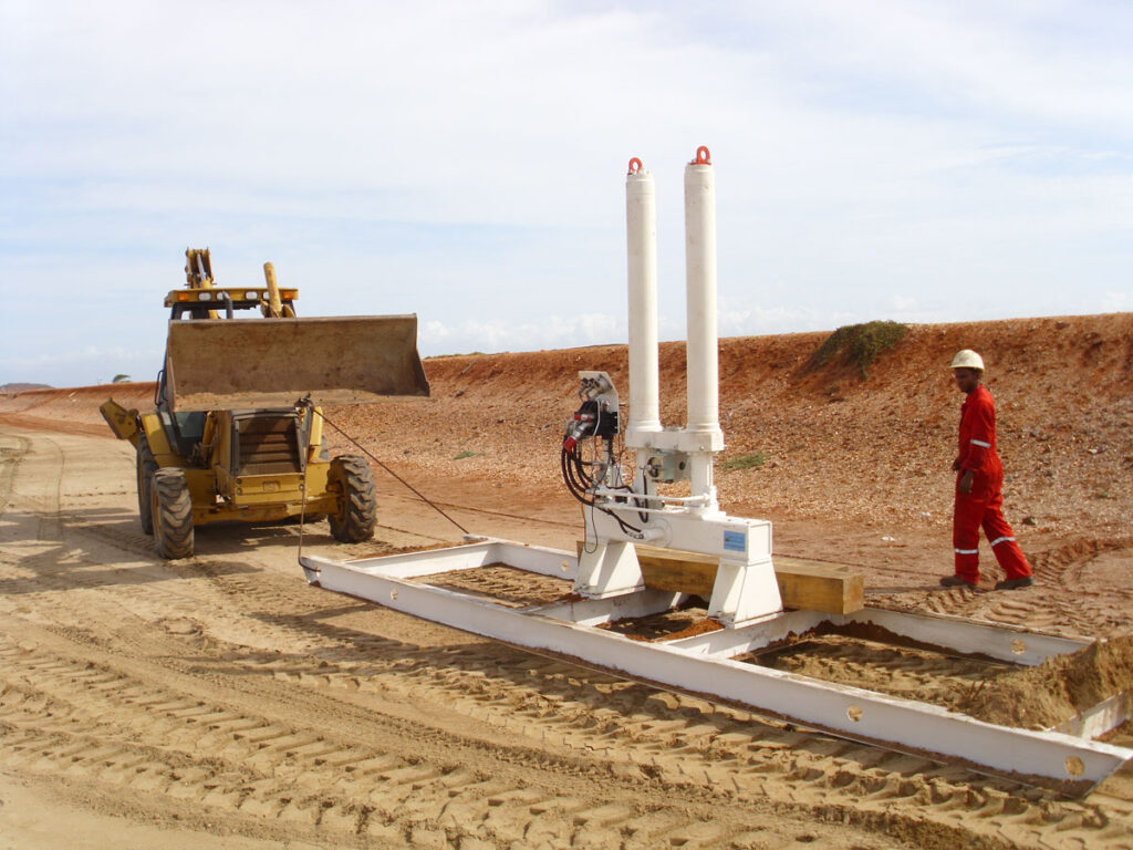
At Amundaray Ingeniería Geotécnica, we develop comprehensive geotechnical engineering, geophysics, surveying, and civil works quality control (QA/QC) solutions for energy, oil, gas, and infrastructure projects. Our approach combines technical expertise, specialized technology, and compliance with international standards to optimize designs and ensure the safety and operational continuity of our clients’ projects.
Soil Studies and Geotechnical Engineering
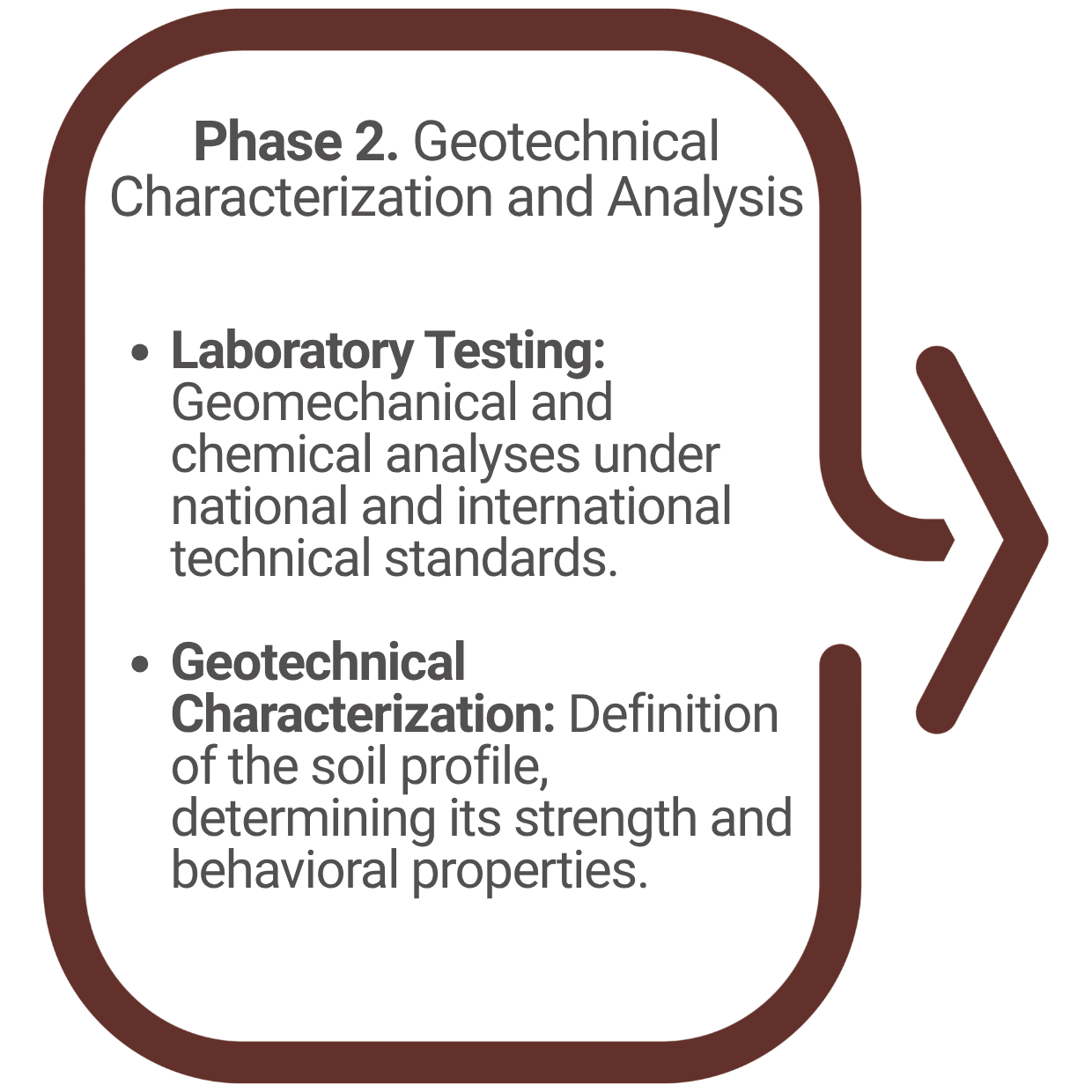
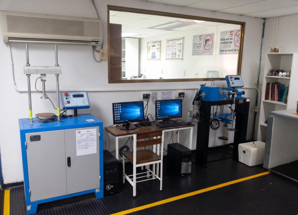
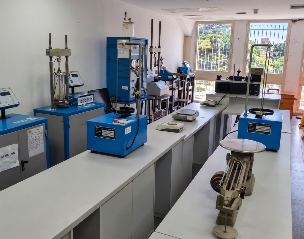
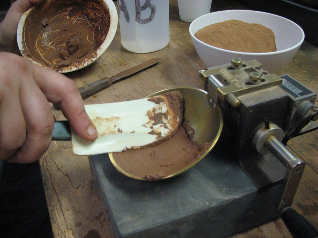
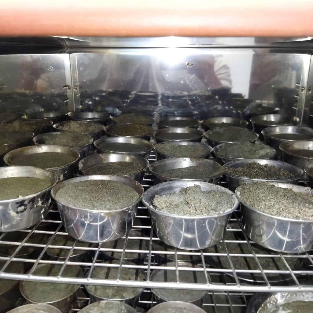
Field and Laboratory Capabilities
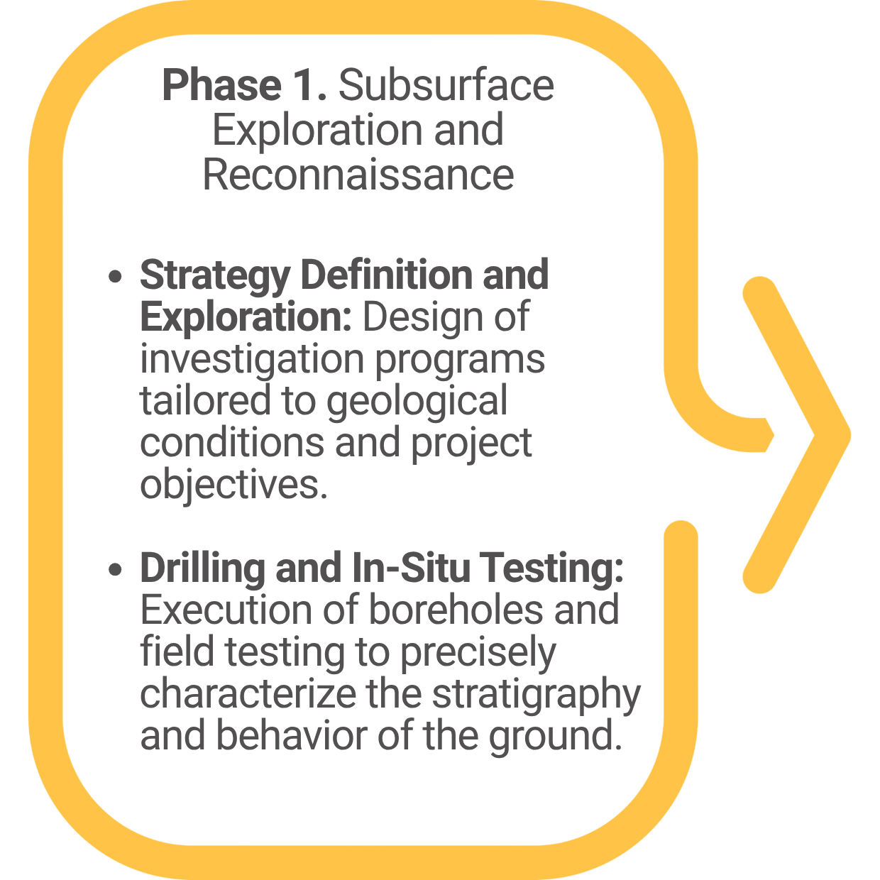
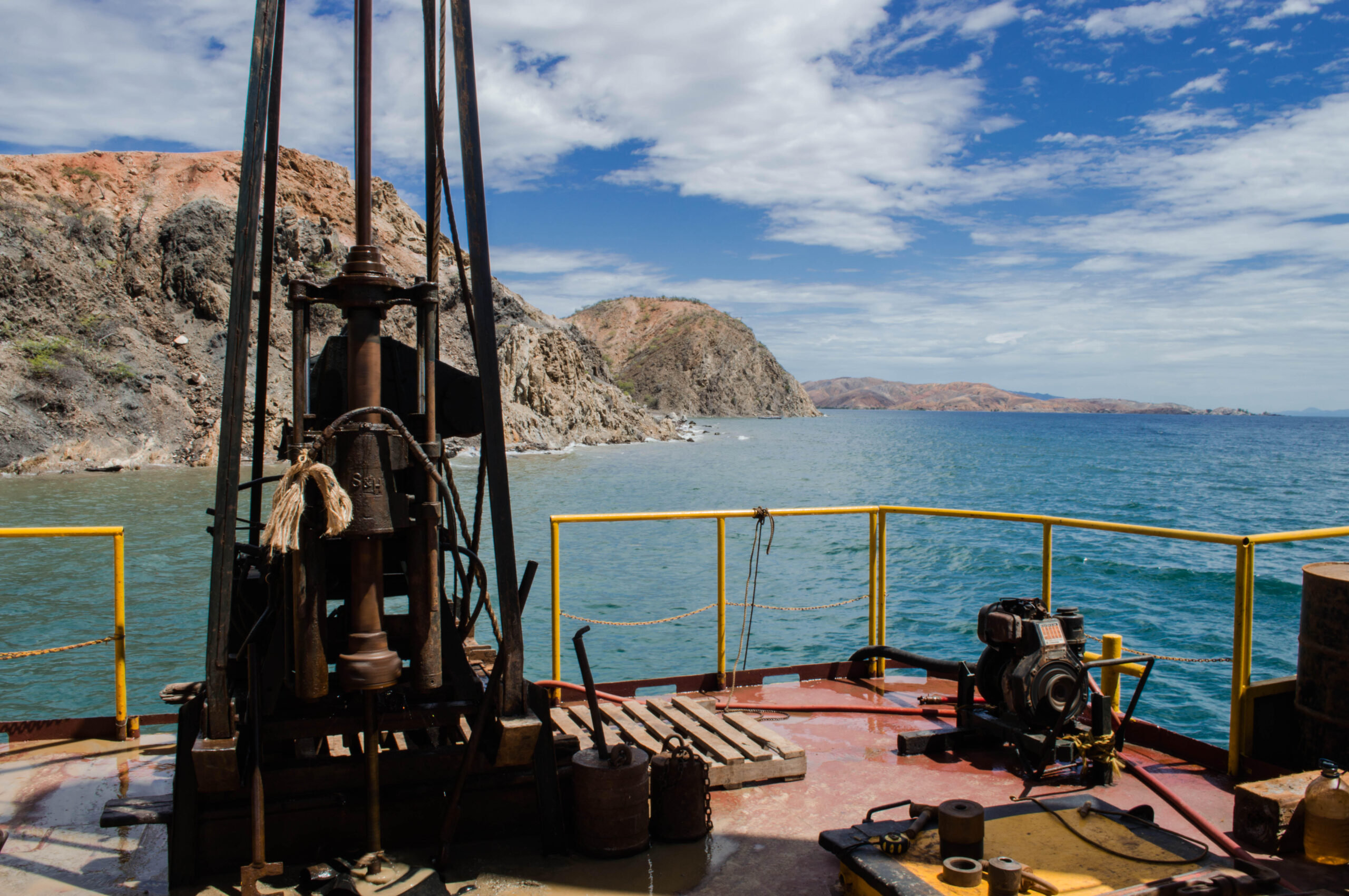
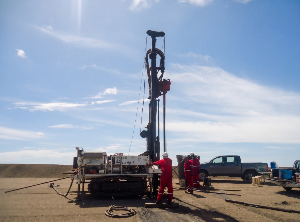
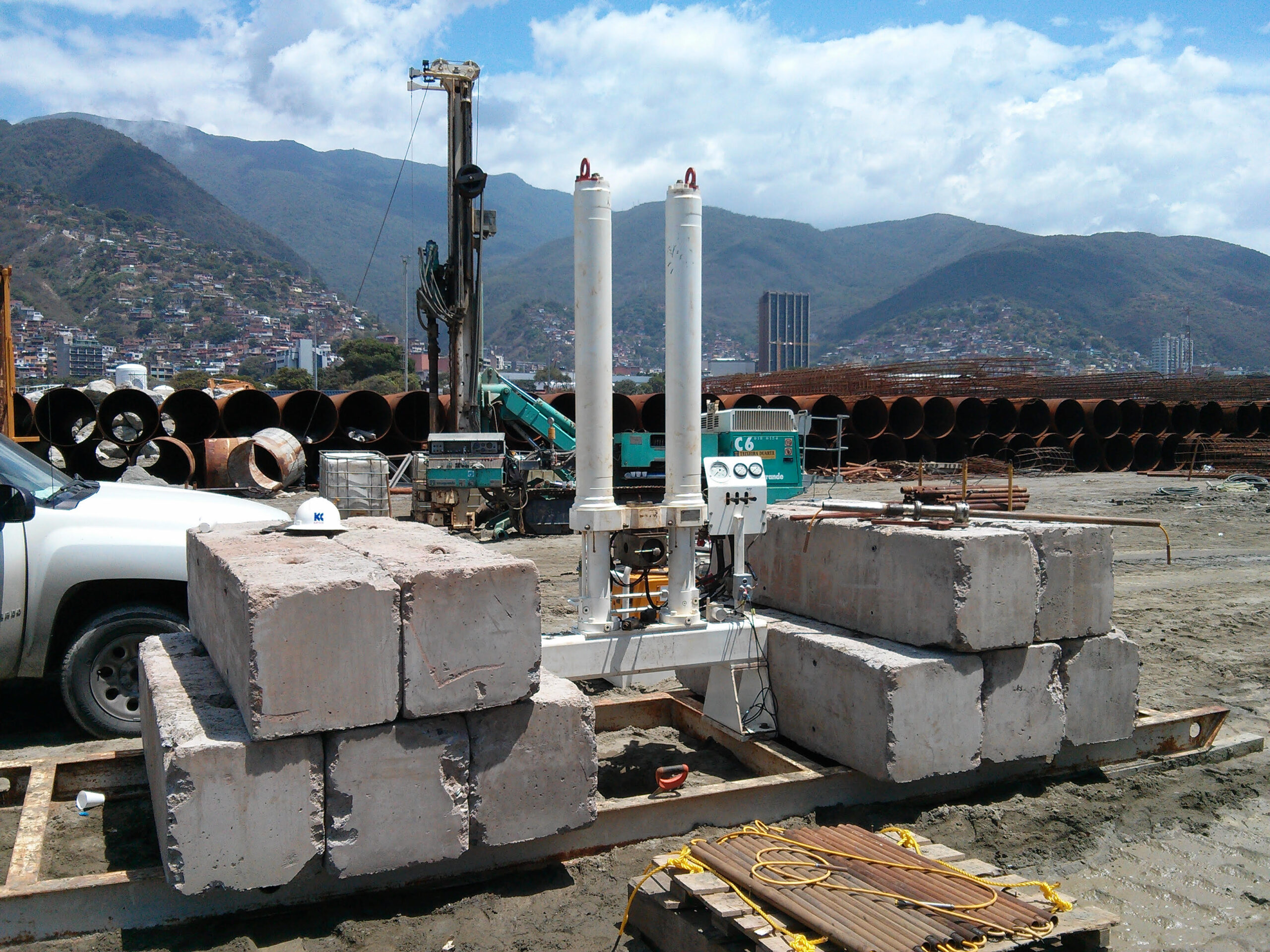
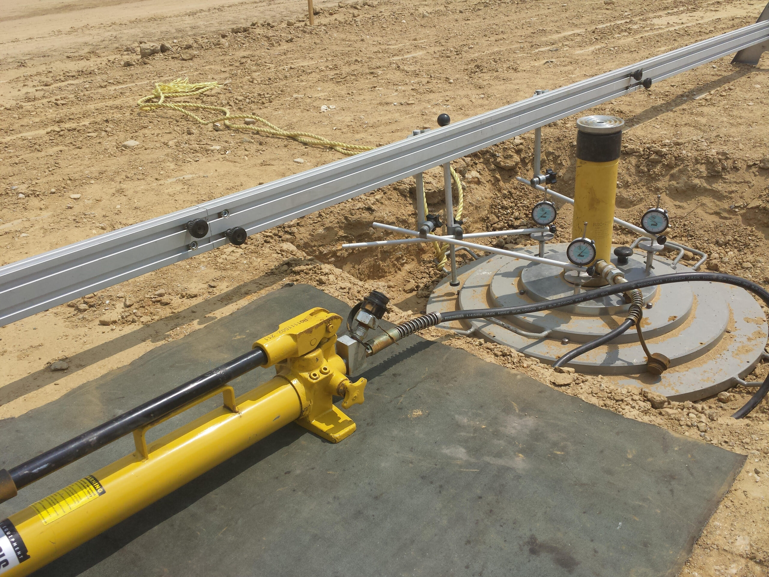
In-Situ Investigations and Testing
COMPLEMENTARY DISCIPLINES
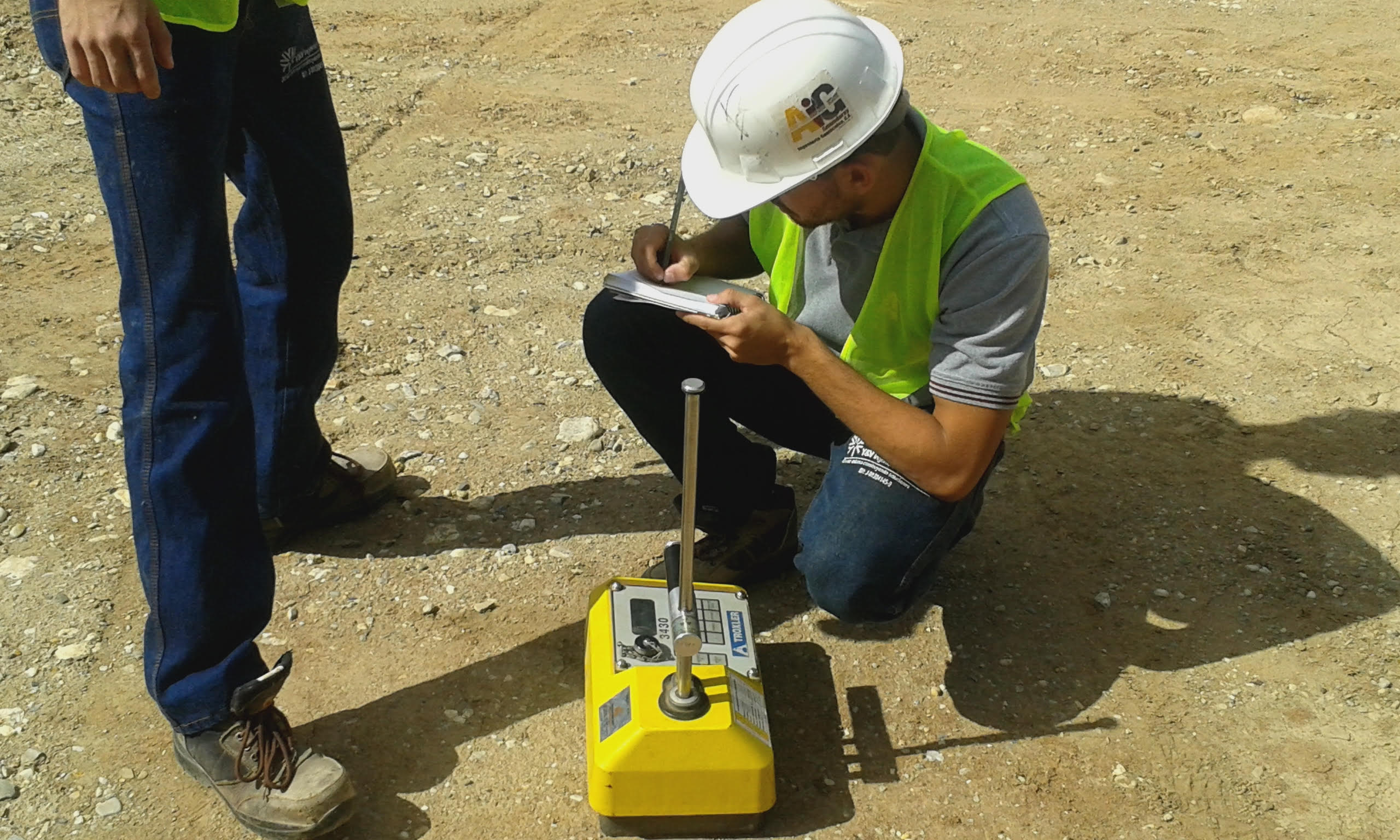
QA/QC and Infrastructure Integrity
We verify that construction is executed in accordance with technical specifications and design criteria, minimizing deviations and operational risks.
Materials and Construction Quality Control
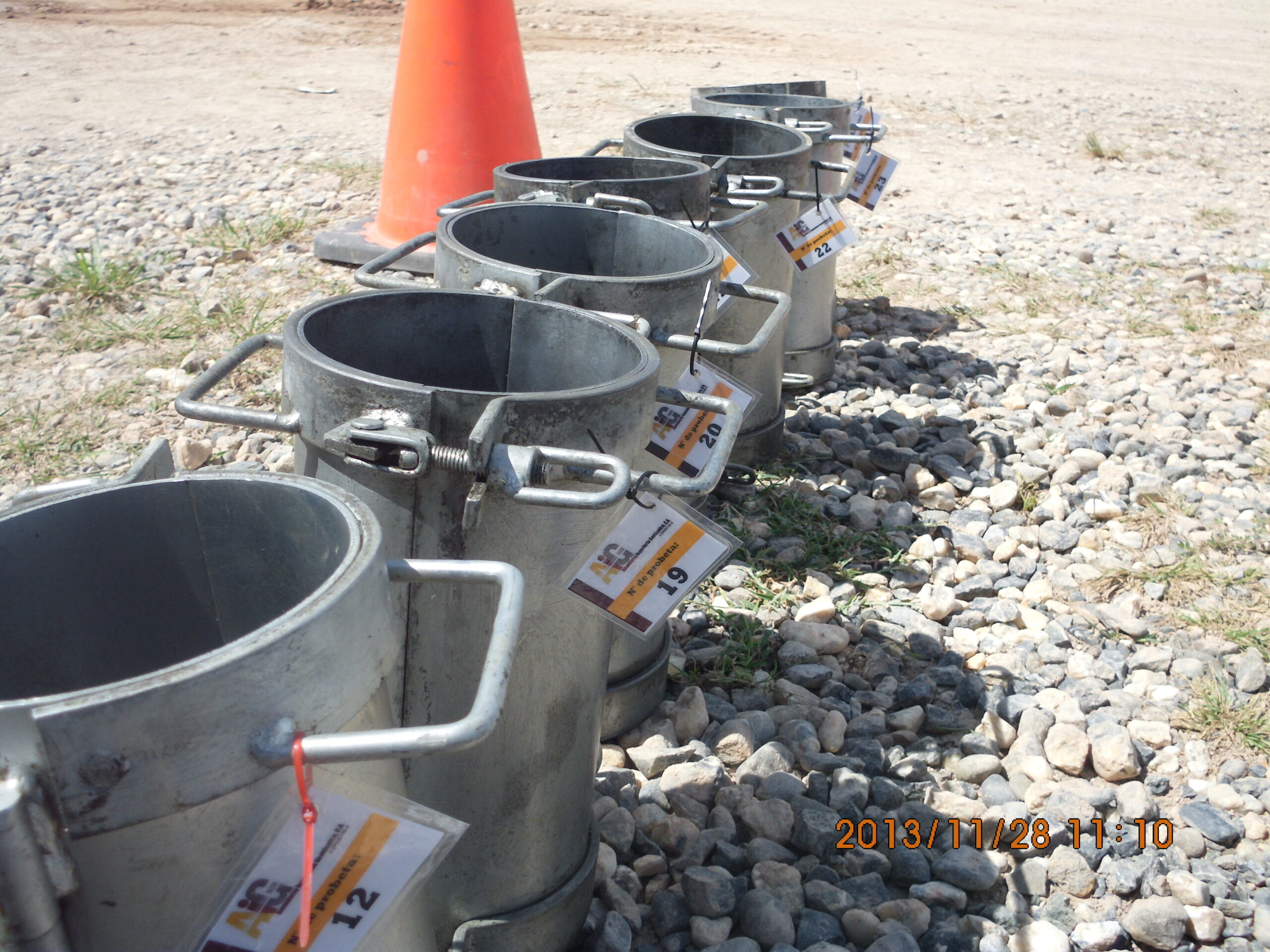
- Proctor, Sand Cone, and Nuclear Density Gauge tests.
- Concrete and grout control.
- Asphalt mix evaluation.
- Core extraction.
- Technical site inspection.
Structural Integrity Evaluation
- PIT (Pile Integrity Test).
- Rebound hammer testing (Sclerometry).
- Ultrasonic Pulse Velocity (UPV).
- Covermeter survey (Pacometer) for reinforcing steel detection.
We guarantee regulatory compliance, technical traceability, and construction quality assurance.
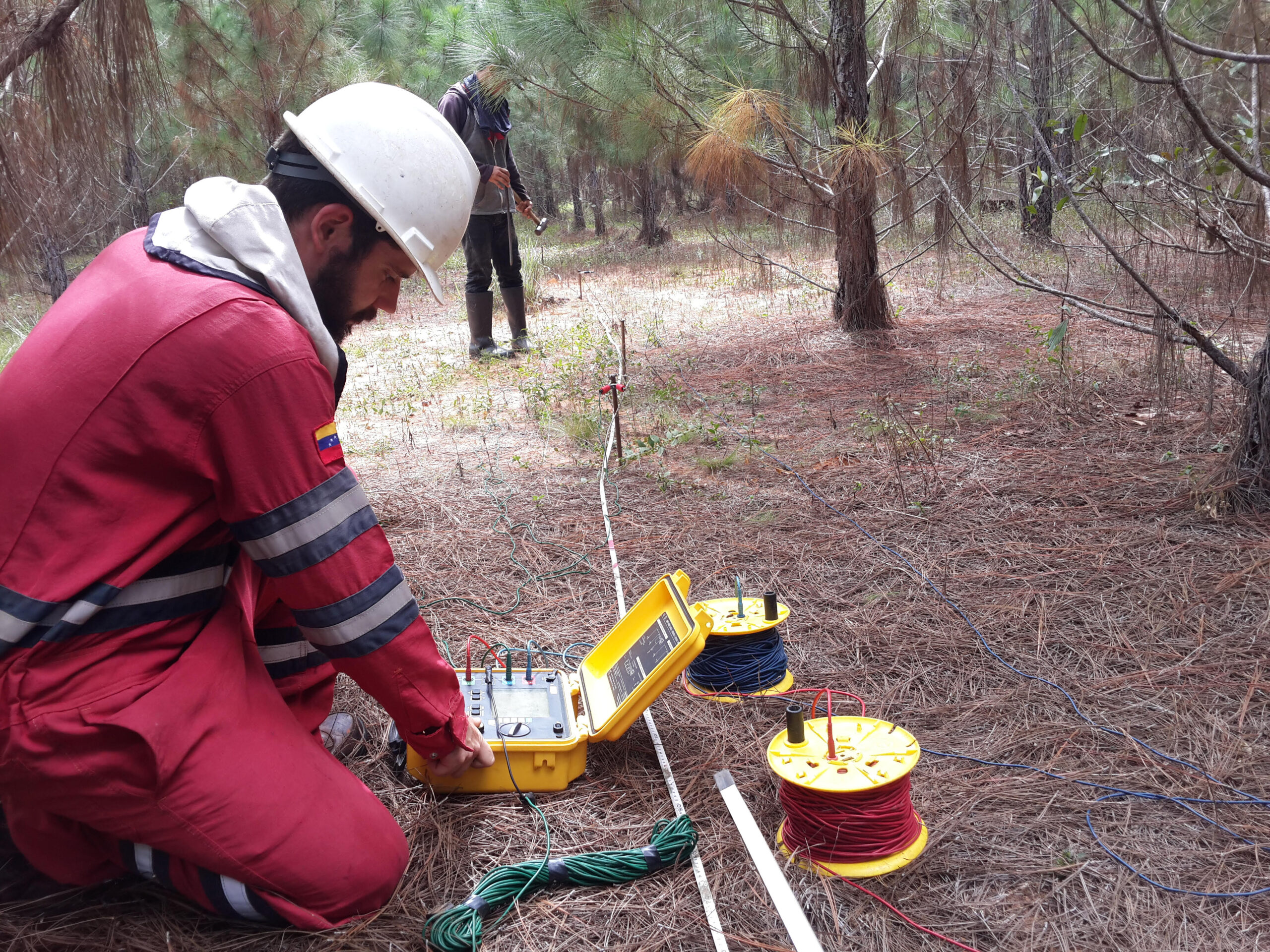
Applied Geophysics and Non-Destructive Exploration
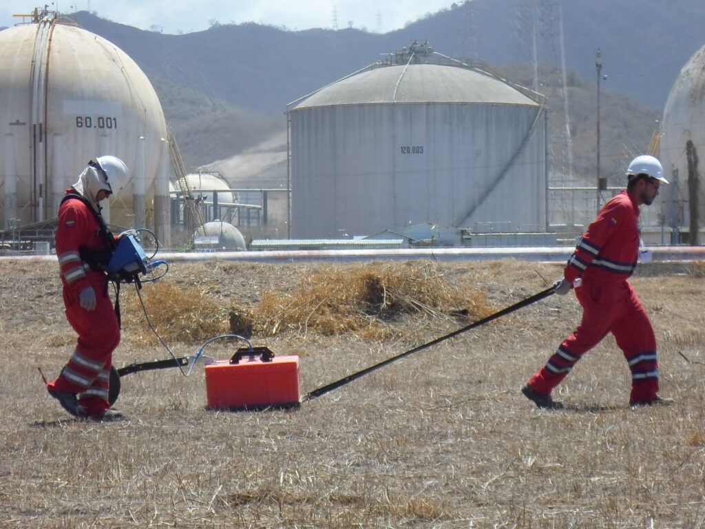
We utilize indirect, non-destructive geophysical methods for subsurface exploration.
Specialized Services
- GPR – Ground Penetrating Radar: Detection of pipelines, buried utilities, and cavities.
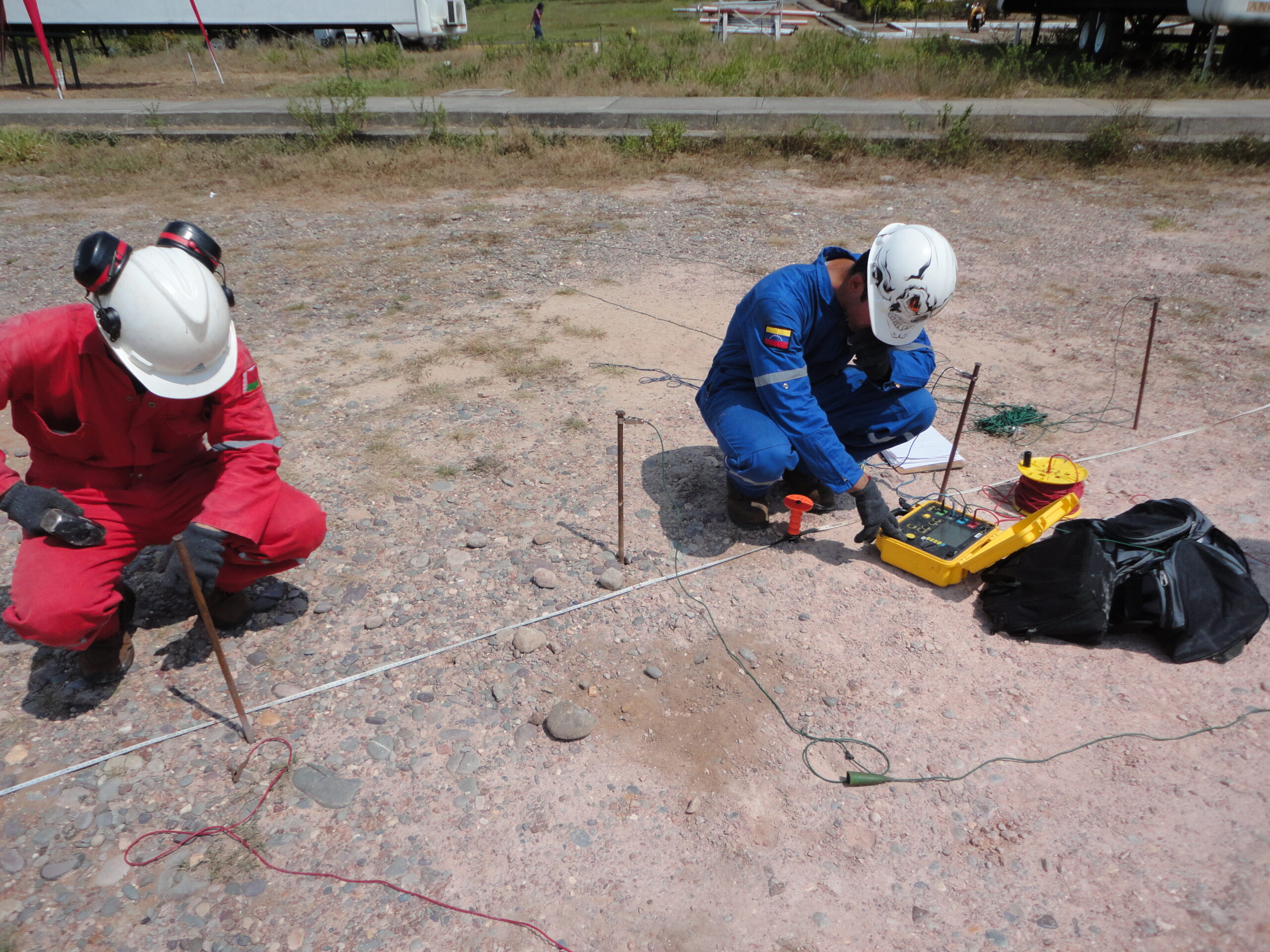
- Electrical Resistivity: Geological characterization and grounding system design.
- Downhole Testing: Determination of dynamic and seismic ground parameters.
- Hydrogeological Studies: Evaluation of aquifers and groundwater flow.
Through these methods, we identify critical terrain characteristics while minimizing risks from underground interferences or hidden structures.
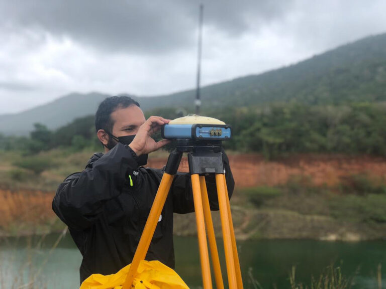
Surveying, Bathymetry, and Digital Terrain Modeling
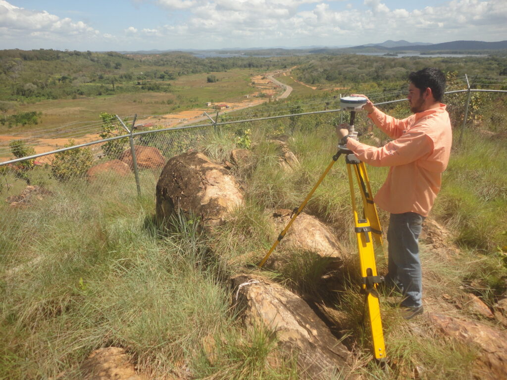
Through high-precision geometric surveys, we transform environmental data into spatial information and digital models essential for planning, boundary demarcation, earthwork calculations, and construction works.
Specialized Services
- GNSS RTK and Total Station: High-precision topographic surveys and staking/layout.
- Drone Photogrammetry: 3D models, orthomosaics, and volumetric analysis.
- Drone and Helicopter LiDAR: High-resolution scanning over extensive areas or dense vegetation.
- Bathymetry: Characterization of underwater relief and bodies of water.
With last generation technology, we achieve greater geometric accuracy, optimized earthworks, and enhanced construction planning.